18/03/2024
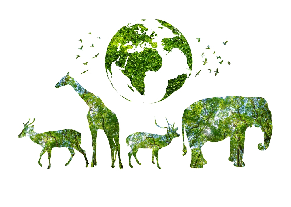
Current Situation of Natural Conservation and Management
Alongside the development of the global economy, the devastating impact of human activities has seriously endangered biodiversity. Over recent decades, biodiversity depletion has occurred at an alarming rate worldwide, jeopardizing the existence of many species in the wild.
The latest update of the IUCN Red List currently includes assessments of 142,577 animal and plant species. Among them, 40,084 species are considered to be at risk of extinction, with up to 17,000 species categorized as “data deficient.” Therefore, the effort to rescue wildlife is always considered a top priority.
To serve this purpose, support from tools for rapidly assessing the biodiversity of wildlife on a large, high-resolution spatial scale, from individual species to global population density, is essential.
Traditionally, wildlife species are monitored through data collection performed by humans, such as animal counts, behavioral observations, and patrols in natural reserves. However, this approach may pose certain limitations:
- It is time-consuming, labor-intensive, and costly.
- Data sets may be biased due to the subjective nature of human observations, interobserver reliability, and unavoidable disturbances caused by the presence of observers on wildlife.
- Human presence in the field also poses risks to wild animals, their habitats, and even to humans themselves.
These issues significantly impede the availability of information on the geographical range, density, and biodiversity of wildlife communities globally, as well as human capabilities in assessing the consequences of biodiversity loss. Failure to capture changes in ecological relationships may lead to inaccurate predictions.
Incomplete monitoring, partly due to implementation challenges and the high cost of data collection, is identified as a major challenge in conservation activities. Similarly, combating poaching requires comprehensive monitoring of large conservation areas, posing a significant challenge with existing technology. Conservation managers often have to invest heavily in preventing illegal incursions and detecting poachers. Clearly, the traditional approach of human-based data collection has revealed many limitations in the current context.
In the era of advanced information technology and digitization across all fields, conservation planning also needs to be optimally implemented using tools such as space technology and digital mapping.
Learn more: https://goong.io/tin-tuc/loi-ich-cua-gis-trong-phong-chong-giam-nhe-thien-tai/
APPLICATION OF SPACE TECHNOLOGY IN WILDLIFE CONSERVATION
According to recent survey data, there are over 12,000 elephants killed annually since 2006 in Africa alone. This number has been on the rise in recent decades. If this trend continues, in a future scenario, there will be no elephant left on this planet.
Protecting the overall ecosystem is crucial, not just for the wildlife but also for the surrounding flora and fauna to establish a balanced ecosystem.
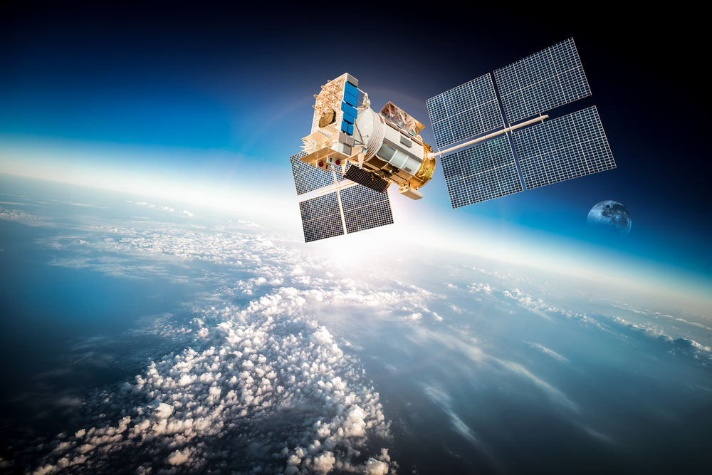
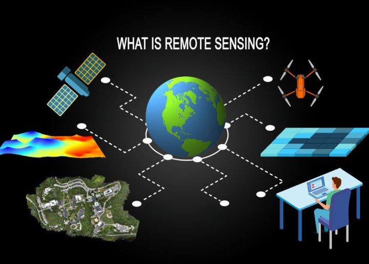
Space technology plays a crucial role in natural conservation planning. Space technologies such as Geographic Information Systems (GIS), satellite imagery, spatial modeling, and analysis provide essential tools and information for effectively managing ecosystems.
Space technology allows for the collection and transmission of rich spatial data on the distribution and status of land regions, geographic features, and natural environments. This helps conservation managers better understand the spatial relationships between environmental factors and provides necessary information.
Space technology also helps create maps, models, and future scenarios to assess the impact of conservation decisions and management on ecosystems. This allows conservation planners to identify important land areas for conservation and determine potential areas for ecosystem restoration and enhancement.
Moreover, space technology can enhance the ability to assess, monitor, and predict environmental changes. By using GIS systems, satellite imagery, and spatial modeling, we can gather rich spatial data about the environment and use it to:
- Assess the extent and rate of environmental changes: Space technology allows for the analysis of various measurements to assess the extent of environmental changes, including land conditions, natural environmental degradation, and climate change.
- Monitor environmental areas and features: Through the use of satellite imagery and GIS data, we can monitor specific geographical areas and environmental features such as forests, rivers, wetlands, and seas. We can track changes in geographical features, deforestation levels, and aquatic environments.
- Predict consequences and future trends: Using spatial modeling and spatial data analysis, we can predict the consequences of actions such as construction projects, resource exploitation, and climate change on the environment. We can determine long-term trends and develop future scenarios to support effective environmental conservation and management planning.
In addition, space technology provides us with a comprehensive and detailed view of the migration and habitat of various species. This helps us understand and respond to environmental changes and implement appropriate conservation and management measures such as:
- Habitat location: Space technology helps determine the precise location and characteristics of important habitats for species. This includes natural environments such as forests, river systems, wetlands, and urban environments.
- Migration pattern prediction: By analyzing spatial data and modeling, we can predict the migration patterns of species in the past and future. This helps us better understand traditional migration routes, important migration areas, and potential changes due to environmental variations.
- Risk assessment and environmental management: Using space technology, we can identify and assess risks to species and their habitats. This helps us detect threatening issues and implement effective management measures to protect species and their habitats.
Join hands with Goong to delve deeper into the applications of space technology and digital maps to enhance daily living at: https://account.goong.io/