15/06/2023
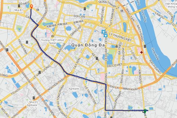
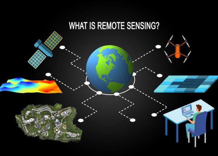
Overview of static map
Static maps, also known as image-based maps, are created from address or coordinate-based requests. This allows developers and companies to use map data to display on websites or applications without needing to create an interactive map or a dynamic location-based application.
Static maps are the simplest way to display a map on a website or mobile device application. They do not require map libraries or SDKs and can be displayed anywhere, showing images even within applications or user interfaces where interactive maps cannot be integrated. GOONG Static maps consist of REST APIs and client application libraries to generate images in the GOONG Studio style.
Developers use static maps to create maps with just a few lines of code and sometimes with a single HTML image tag. The loading speed of static maps is very fast, depending on specific cases and different areas, and the average loading time for static maps ranges from 100 – 425 milliseconds, depending on whether the images have been cached or not.
Most static maps are used to reduce loading times and promote user interaction.
Static maps are applied in the following cases
Integrating into a Website
Static maps are displayed as images, allowing for broad browser and platform support. They do not require any specific browser for display. These images are created and stored on the map provider’s server, rather than being generated on the user’s computer.
Static maps can also be displayed across various platforms, applications, and different mobile apps, allowing mobile apps to present geographical information in a flexible and precise manner. As it is just a static image, it helps save internet bandwidth and speeds up web page loading.
Not only does it make your website look more professional, but a static map also enhances consistency and stability of the website across various browsers. Therefore, integrating static maps is an excellent way to enhance the user experience on a website.
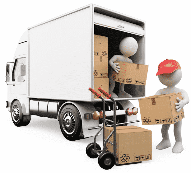
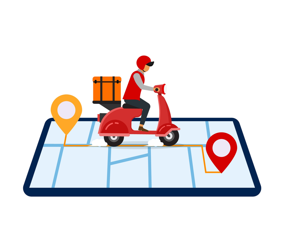
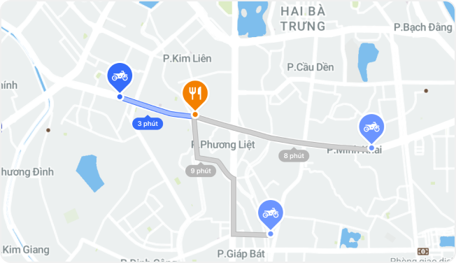
Logistics and online delivery
See more related article: https://goong.io/tin-tuc/map-api-la-gi-xu-huong-tich-hop-map-api-vao-logistics/
Integrating static maps into logistics management software helps seamlessly display current orders and delivery routes, providing users with a seamless experience to track their package journeys. Static maps serve as a useful tool for managing delivery addresses within the logistics software, enabling quick and accurate location identification for delivery personnel.
Moreover, static maps support the display of addresses and images on static maps, combined with interactive maps that update employee delivery locations in real-time. Consequently, users can easily and visually track their orders, enhancing reliability and precision in the delivery process.
Additionally, static maps can also be integrated into warehouse management software, displaying all warehouses and specific locations on static maps. This aids users in pinpointing exact locations and identifying distribution density among their warehouses on the map to facilitate storage and categorization of goods.
Support meteorological work
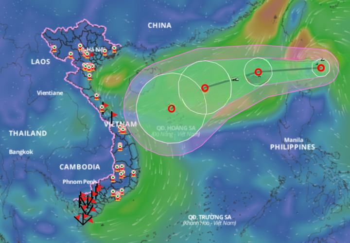
Static maps support displaying weather forecast graphs on static maps. This includes information such as temperature, humidity, wind speed, cloud cover, and weather trend forecasts. Additionally, it helps locate weather factors like cold air masses, monsoons, heavy cold spells, etc., accurately on the static map. These visualizations assist meteorologists in analyzing and providing more precise weather forecasts.
With static maps, meteorological experts can offer more detailed information than traditional forecasts. They can create visual images based on data showing wind speed, heat waves, or storm fronts in the local and global regions in attractive colors.
Social Media
Displaying Post Locations: Social media applications like Facebook, Instagram, Twitter utilize static maps to showcase user post locations.
Event Creation and Location Tagging: Static maps aid users in creating events and tagging their locations on the map.
Displaying Location Information: Social media applications such as Yelp and Google Places use static maps to display the location and detailed information of various places such as restaurants, hotels, tourist spots, and more.
Build Static map with Goong maps
To begin creating a static image with Goong, users need to have an account and generate a Key to utilize. For detailed integration instructions based on specific needs, please refer to the link below: http://document.goong.io/tutorial-Javascript-Api.html
Explore more useful features of digital maps with Goong at: https://goong.io/