08/03/2024
 Climate change leading to rapid global warming and rising sea levels poses the greatest challenges for humanity today. Natural disasters are projected to increase and become more extreme worldwide, including in Vietnam.
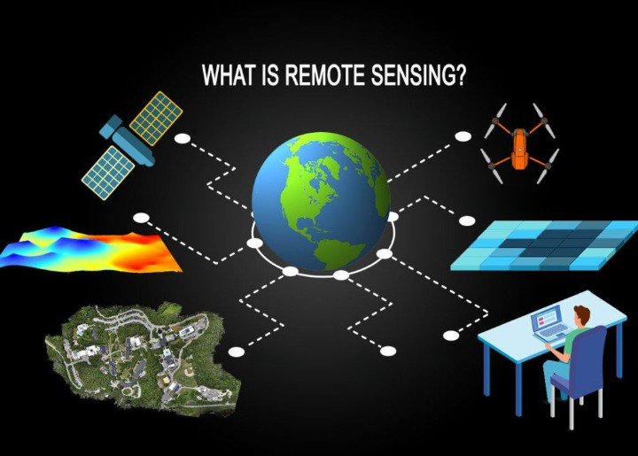
To proactively address disaster prevention and mitigation efforts, various monitoring, forecasting, and warning technologies have been applied. Among these, remote sensing technology – GIS is one of the widely utilized technologies. The application of this technology allows for processing, extracting information, connecting, and managing the necessary data to serve various phases of disaster prevention and mitigation efforts. Furthermore, remote sensing technology – GIS is particularly valuable when combined with the global positioning system in immediate search and rescue operations for areas affected by natural disasters. In this article, let’s delve deeper into the applications of remote sensing technology in disaster prevention and mitigation efforts.
The application of remote sensing technology – GIS in disaster prevention and mitigation efforts
The use of remote sensing materials can provide crucial information on landslide locations, resulting in high economic efficiency and preventing potential impacts. To establish landslide susceptibility maps, data such as topographic maps, geological maps, and satellite images are collected, processed, and integrated into a GIS spatial database. Factors influencing landslide occurrences selected for studies include slope, morphology, curvature, distance to river systems, geology, distance from fault lines, land cover, vegetation index, and rainfall distribution.
Remote sensing technology extracts information mainly through image features: direct signs like texture, color, patterns, structure, object shape in images, and indirect signs such as land cover, terrain, geomorphology, surface material components…
Based on this, scientists develop interpretive diagrams of sliding masses and their constituent factors. These interpretive diagrams serve as crucial input data for assessment, zoning forecasting, and establishing warning zone maps for rockslides in subsequent steps.
In research areas suitable for multi-temporal high-resolution remote sensing images, ground verification of landslide masses interpreted from remote sensing images has accurately identified landslides occurring at these locations with over 80% accuracy.
However, remote sensing technology can still have discrepancies compared to ground truth due to the time lag between image acquisition and on-site verification. Additionally, many landslide points identified in remote sensing images may have stabilized or ceased activity by the time of ground survey, covered by vegetation or blurred by human activities.
Therefore, for improved accuracy in evaluating slope movements, besides employing advanced technologies such as remote sensing, scientists emphasize the need to cross-check with existing documents and conduct on-site verification.
Flood management
Radar satellite images (Radarsat SAR, ERS SAR) are geometrically adjusted to match the data in the GIS database on land use or geometrically adjusted with Landsat TM images. Flood extent can be extracted from SAR images by direct analysis or automatically extracted with DEM data or Landsat TM images. The flood extent can overlap with GIS data on land use, or Landsat TM image data will provide map results and efficient tables when analyzed with GIS. Estimating the magnitude of the flood peak allows for the calculation of the flooded area using the Manning equation and remote sensing processing.
Satellite data, digital elevation models, and rainfall data are integrated; the digital elevation model will indicate the slope and direction of water flow, the rainfall data of the seasons along with hydrological models will be determined for specific areas. Combining land use maps and hydrological models, flood inundation can be assessed and economic-social maps can be used for backup and updating, upgrading the spatial data of the area. This data helps authorities to have appropriate relief measures.
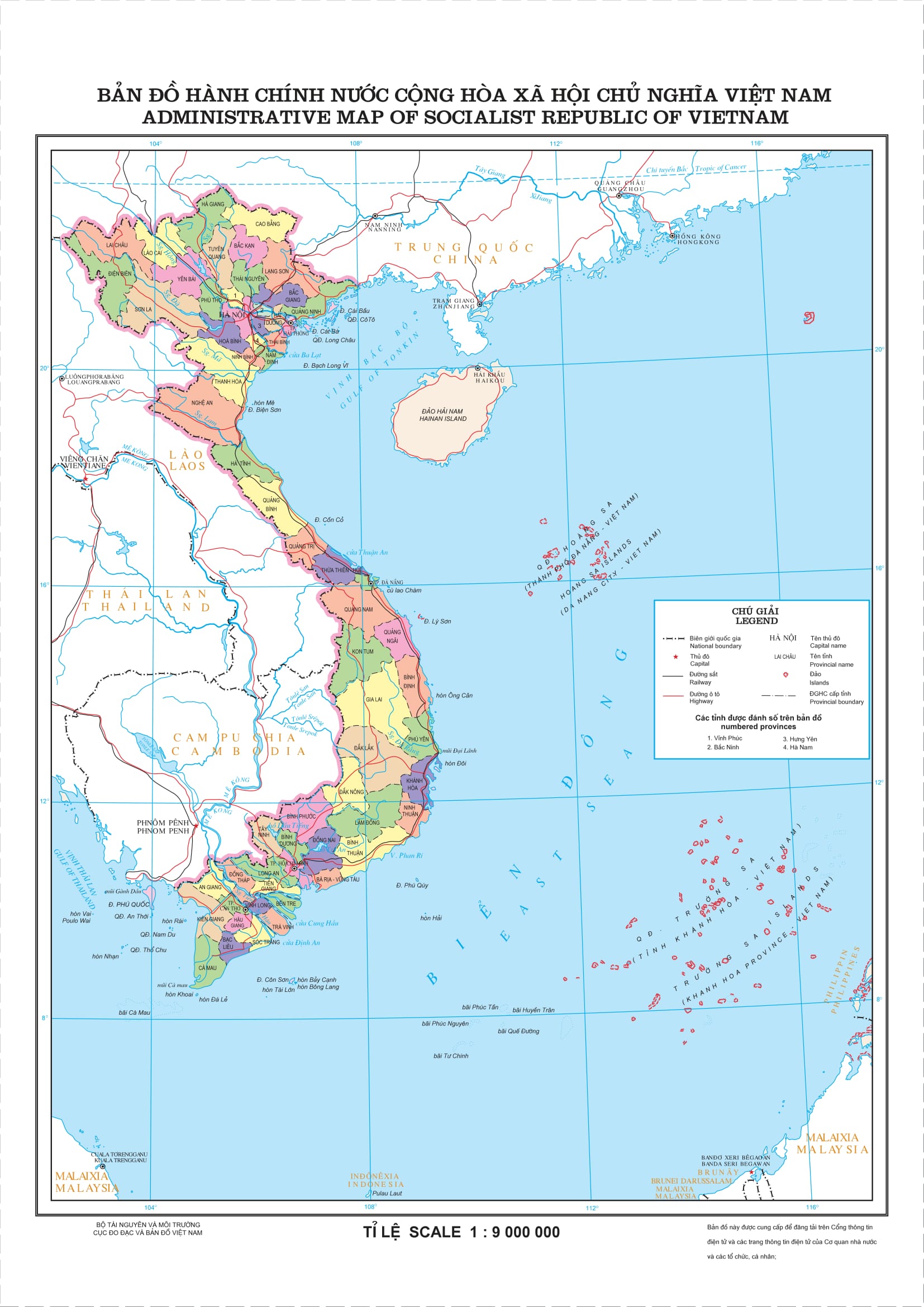
The application of GIS in Vietnam and the issues requiring attention
According to the assessment by the Asian Disaster Management Agency of the World Meteorological Organization, Vietnam is one of the countries most affected by natural disasters in Asia. Given the reality of natural disasters, floods, and the role of early warning, numerous studies and applications have been implemented in our country for monitoring, surveillance, and disaster warning. Specifically, the application of remote sensing technology has shown certain outcomes.
For example, the implementation of the project “Survey, evaluation, and zoning of rockslide risk in mountainous areas of Vietnam” from 2012 to 2013 (in 10 mountainous provinces including Son La, Dien Bien, Lai Chau, Yen Bai, Lao Cai, Tuyen Quang, Bac Kan, Ha Giang, Thanh Hoa, and Nghe An) covering a total area of nearly 60,000 km2 identified nearly 9,000 landslide points of various scales and degrees of danger, as well as nearly 3,000 suspected sliding points detected through terrain analysis on digital models and airplane photo interpretations. The primary outcome of this project is the production of 1:50,000 scale current rockslide maps developed for each mountainous district of the 10 aforementioned provinces. Additionally, the project applied remote sensing technology to establish component maps, construct spatial database structures, and the first version of Web-GIS on rockslides…
During the period of 2011-2015, the Asian Development Bank (ADB) supported Vietnam in implementing the project “Application of remote sensing technology in flood forecasting, warning, and surveillance.” The project applied spatial (SBT) and information and communication technology (ICT) in flood management, monitoring, and prediction in river basins, particularly in the Thao River area of Ha Hoa, Phu Tho. Here, the monitoring system was established through remote sensing, and the collected information was transmitted to the local disaster management authorities via SMS. Based on the information received, the local government developed relocation plans to mitigate the impact of natural disasters.
Strategies for maximizing the effectiveness of Remote Sensing Technology – GIS in disaster prevention and mitigation
To further enhance the effectiveness of remote sensing technology – GIS in the field of disaster prevention and mitigation, Vietnam needs to take appropriate steps, specifically:
Firstly, develop a general strategy to expand the use of space technology, remote sensing, and geographic information systems (GIS). The issues related to remote sensing applications need to be addressed at the local, national, and even global levels.
Secondly, develop the national infrastructure and human resources in stages. It’s possible to establish networking mechanisms and promote community awareness. Exchange expertise through seminars, field surveys, on-site training, short and long-term training programs abroad.
Thirdly, implement joint research projects, practical applications to foster interdisciplinary research suitable for the region. Engage more actively with Asian countries, other regional and international countries in disaster prevention and mitigation activities.
Fourthly, adopt an integrated target-oriented approach using space science, remote sensing, and GIS to develop the economy, protect the environment, reduce poverty, and enhance the quality of life for people at all levels, from local to national.
Moreover, in response to global trends and experiences in satellite imagery applications, Vietnam should focus on researching, mastering technology, and extraction processes for satellite image utilization for purposes like mapping, updating databases, building terrain and geographic information systems (GIS), supporting analysis, and extracting specialized information for disaster prevention and reduction. Additionally, paying attention to international collaboration to exchange information, data, and experiences to enhance the effective use of remote sensing in disaster prevention and mitigation.
Let’s explore more about the benefits that GIS brings to life at: https://goong.io/