04/05/2023
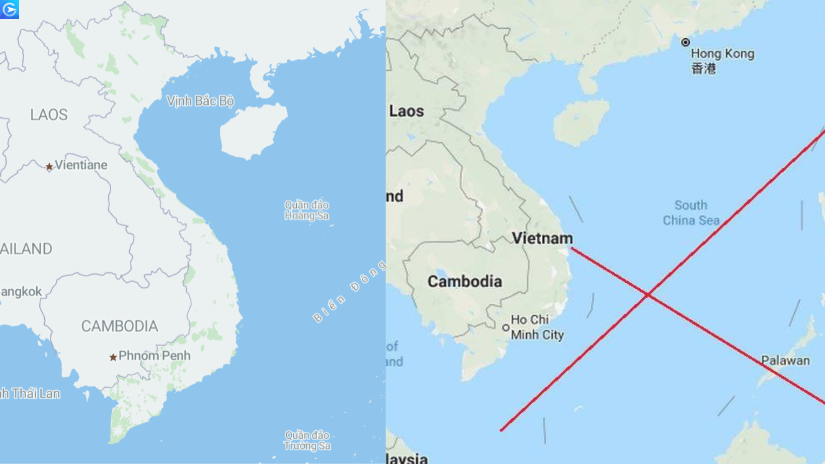
 Recently, the community is boiling about a technology car company using a map of Vietnam that lacks images of the Truong Sa and Hoang Sa archipelagoes. This seriously violates Vietnam’s sovereignty over sea and islands. Raise alarm bells for businesses operating in Vietnam that are using map data from inaccurate sources. Making users uncomfortable and turning away, more seriously, infringing on the territorial sovereignty in the country in which it is operating.
Inaccurate map data, business dilemma
We cannot deny that, more than a decade ago, Google map is holding almost the entire market share in the field of digital maps. From allowing users to contribute more data during use, Google’s treasure of location data becomes diverse and huge, constantly updated. Because of that, there will also be a lot of limitations. In particular, the accuracy of the data is not guaranteed.
Talking about the limitations of Google maps, Randy Meech – CEO of StreetCred – a map startup, said: “Google Maps allows developers to use services hosted on their servers, but they are very limited. and costly”.
“In particular, Google will not allow someone to take all the data about places of interest and store it in its own database. If you’re into ride-sharing, autonomous driving, logistics and other industries, you really want direct access to this raw data source,” he added.
In Vietnam, some car companies are also using location data of Google map such as Grab, GoViet… And many times the inaccuracy of the data has caused the companies to encounter certain difficulties. Some of the problems that may be encountered are:
- Difficulty finding the place
- Difficulty in locating (departure/destination)
- Risks in distance calculation and driver coordination
- Incorrect navigation
- Costs are inflated
- Creating a bad customer experience
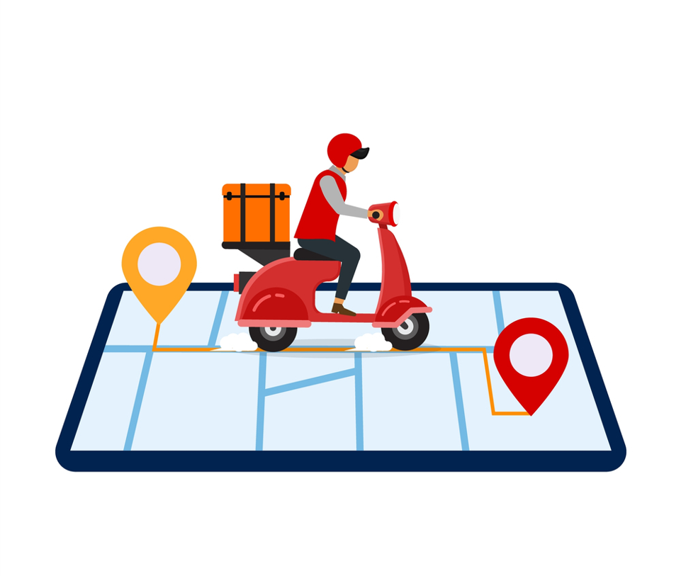
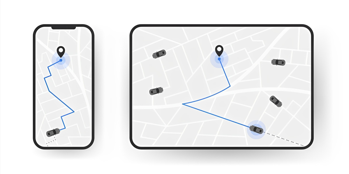
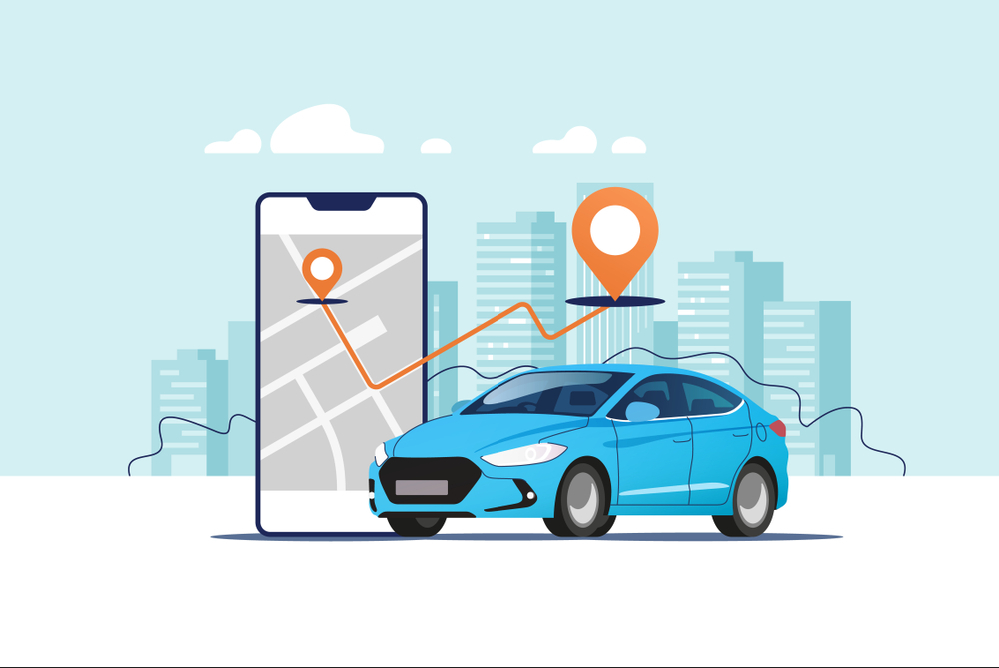
If you are a fan of motorbike taxi technology, or use services such as delivery, order food …. then you must have been annoyed many times because of problems such as: Type search for locations but can’t find the exact location, especially places in alleys and alleys are difficult to locate. For example, your house is in a corner, but you can only navigate to the alley, when ordering food or ordering a car, you have to walk a long distance (up to 100m) to the driver’s location…. This makes you unsatisfied in the service experience.
The businesses themselves operating in this field, they are also clearly aware that the problem of “Meeting Points” is causing them to struggle. There are many cases where drivers and customers are confused when they have to find each other, get lost and then disappointed.
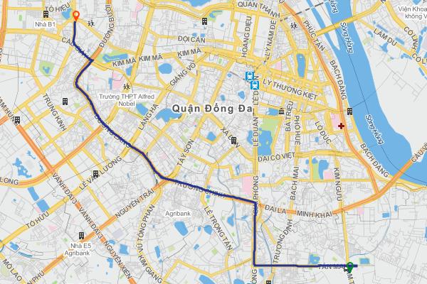
Along with the dizzying increase of a series of transport technology services such as travel, freight, food delivery … as at present, businesses are required to come up with a radical solution to this problem. this problem. The travel distance from the customer’s location to the meeting point must be reduced to the closest possible distance.
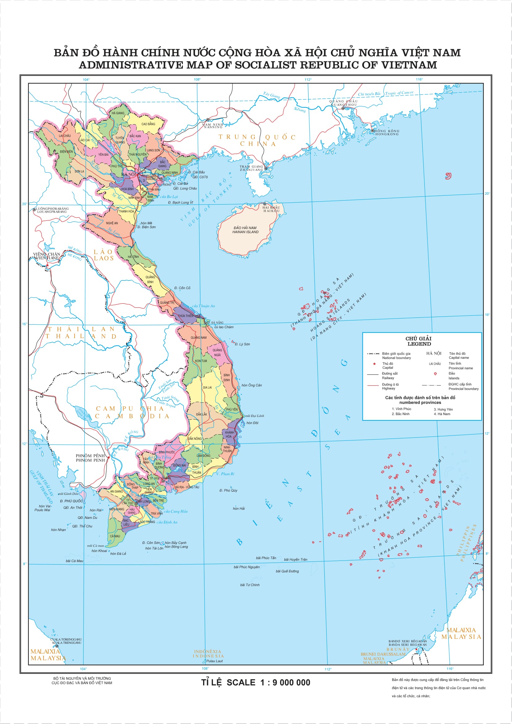
In addition to the data related to the delivery location, for an enterprise operating in Vietnam, the top priority is to respect the sovereignty, territorial integrity as well as the laws of Vietnam. Therefore, respecting the location and topographical factors under Vietnam’s sovereignty claims must also be fully recorded, avoiding the use of map data from inaccurate sources, leading to to the lack or error, affecting the sovereignty and territorial integrity of Vietnam in particular and any country in the world in general.
What is the best solution for your business?
Recognizing clearly the problem being faced, the parties have made every effort to find a suitable solution for themselves. Some decide to build their own map database, like Grab. Or some others decide to find a suitable map partner like Be…Done, no matter which solution, there will be certain optimal points and difficulties, forcing businesses to find directions. go right and right.
Self-mapping
As for building their own data platform, typically Grab, the idea of creating a separate mapping platform appeared early on. As soon as it merged with Uber to become the largest ride-hailing application in Southeast Asia, with the rapid growth in cities in the region, Grab’s top mission is to improve the customer experience to have a sustainable development possible.
Besides being able to master the data platform, not depending on any 3rd party, building your own mapping platform is not easy. Enterprises are required to have sufficient financial and human resources, and to invest in time. This will be a suitable solution for large-scale units.
3rd party search
Finding a suitable supplier is also the solution that most units have chosen to optimize in terms of cost as well as time. The problem faced here is that it will have to rely heavily on the data source of the supplier. In case the supplier’s data source is incorrect or incomplete, it will also greatly affect the service and customer experience. Therefore, the main task is to find a really quality data source.
About the GOONG . map database platform
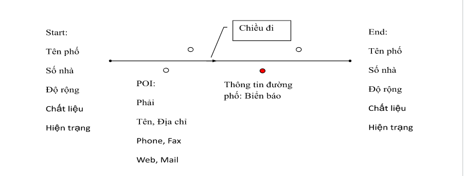
Goong’s map database system was formed based on collecting external data, then editing and processing internal data, building a real database system. Through the experimental survey process, it shows that GPS data going into small alleys is often skewed in coordinates. With the requirement to build a navigation system where the navigation information is mainly on major (named) roads, it is advisable to standardize for major (named) roads. For alleys, alleys will also run GPS for reference and supplement for missing data.
After the field data is collected, it will be uploaded directly to the system through an FTP server of Goong so that the internal data editing department will download and edit it. Goong’s digital map database with 2 important components: street network (Street Network) and location (POI) is compiled on a shared database system that allows many people to border the same map . collection at the same time and to ensure the standardization and consistency of the database.
In addition, the database source of the Goong digital map system is also collected from user information searching and navigating from Goong’s APIs, through official documents and information from major media sources. system, documents from the government and provinces across the country.
Built on real characteristics in Vietnam, Goong’s database ensures high accuracy and is suitable for domestic units. The data source is diverse, even more detailed than Google map or any famous foreign map unit. Especially as a digital map unit of Vietnam, the issue of territorial sovereignty is an even more important issue.
With reasonable cost, guaranteed quality – Goong is committed to being a reliable companion for developers in the field of technology transport in Vietnam.
Are you looking for a comprehensive digital map solution to replace Google map? Need a quality product that is easy to integrate? Sign up for a trial of Goong right here .