23/04/2023
 OPTIMIZE MANAGEMENT OF TRAFFIC SYSTEM WITH GIS
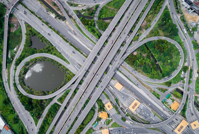
The transport sector is considered as the lifeblood of the economy and politics of a country. The application of GIS – (geographic information system) in this field has achieved many achievements and significant progress so far. Within the scope of this article, let’s learn with Goong, how is GIS applied in the field of traffic?
GIS SUMMARY
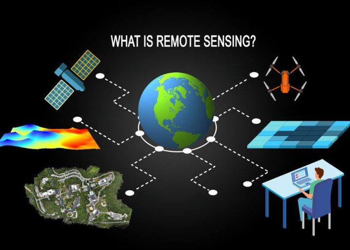
GIS stands for Geographic Information System, a technology for storing, managing, analyzing, and displaying geographic and spatial information on digital maps. GIS allows users to perform tasks such as creating maps, analyzing data, finding places, planning, and managing resources.
Along with that, GIS provides users with the ability to interact with geographic data through a graphical interface. This data can be imported from various sources such as paper maps, satellite images, GPS systems…. Then stored in a geodatabase, accessed and used to generate data. Perform mapping and analysis tasks.
GIS is also seen as an important technology in solving complex problems related to geographic and spatial information. The applications of GIS are very diverse, including fields such as resource management, environment, urbanization, agriculture, scientific research, etc. Within the scope of this article, we will explore the application of GIS in the field of transportation.
HOW IS GIS APPLIED TO TRANSPORTATION?
GIS supports Planning and managing traffic infrastructure
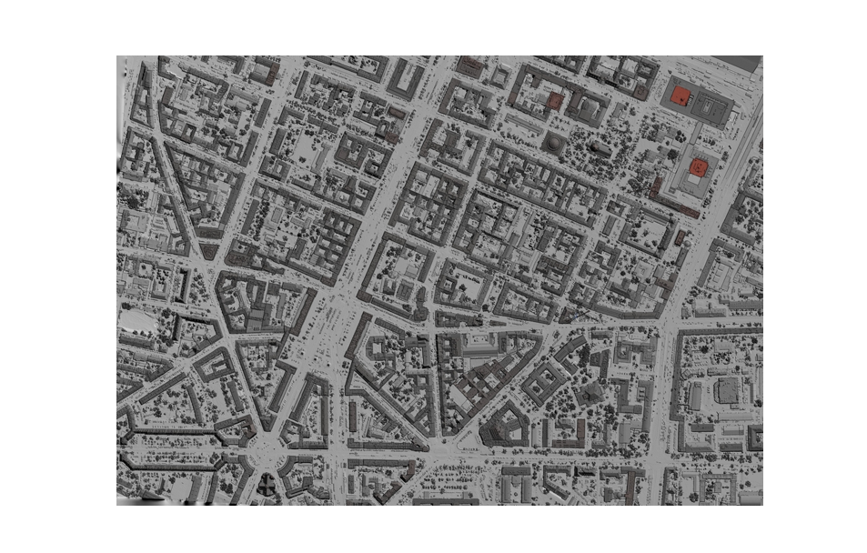
GIS is used to create a detailed map of the transportation network of bridges, railways, roads, waterways…. Geographic data will be used to assess the current infrastructure condition and plan new infrastructure development plan, namely:
- Data collection: Gis integrates data from a variety of sources, including satellite images, maps, geographic data, and other traffic information. As a result, data is collected and updated continuously to ensure accuracy.
- Data analysis: GIS provides data analysis tools, supporting experts in the process of assessing traffic situations, predicting road loads and offering solutions to improve traffic infrastructure. These tools can analyze congestion, road speed, traffic volume, thereby analyzing based on many different scenarios, helping experts develop plans and plans to improve infrastructure the most correct and optimal traffic layer.
- Data display: GIS has the ability to display data on a map to help users easily observe and understand the traffic situation in a specific area. The tools displayed in the chart are diverse in form, and the data is best displayed in the form of a map or chart. It is also possible to export attribute data as excel sheets, generate statistical reports, or create 3D models and more.
- Data management: Effective management of large volumes of data with a clear order is a must in a geographic information system. Gis meets this requirement well, it is capable of managing geographic data related to transport infrastructure, including maps, road locations, routes and other data. As a result, experts can easily update and monitor the status of transport infrastructure elements to make reasonable decisions.
- Forecasting and Simulation: Gis provides tools to forecast and simulate future traffic situations. Experts can use these tools to come up with solutions to improve traffic infrastructure, optimize routes, and enhance traffic safety.
GIS supports Traffic Safety Management
GIS provides tools to collect, analyze and display information about traffic accidents, hazardous areas and factors related to traffic safety. These data will be used to evaluate and improve traffic safety on different roads
- Traffic accident analysis: GIS is used to create statistical maps of traffic accidents, analyze dangerous routes, and the frequency and nature of accidents. As a result, traffic management units can devise measures to reduce the risk of traffic accidents on specific roads.
- Vehicle positioning and monitoring: GIS provides tools to locate and monitor vehicles on the road, helping to make smart decisions about traffic safety management. Example: People use GPS and other positioning devices that can be used to monitor the speed of vehicles on the road, and track their routes and operating times.
- Integrating traffic data from multiple sources: GIS can integrate data from many different sources, including traffic safety measurement systems, navigation devices and sensors on vehicles. Combining these data will help analyze and make more accurate decisions about traffic safety management.
- Traffic project and route management: GIS helps to manage traffic routes and projects by providing tools to analyze geographic data, thereby assisting in optimizing road design, determining location reasonable for transport infrastructure, and make predictions about the future for transport infrastructure construction plans.
GIS helps in Transport Data Management
GIS is used to manage information about vehicles, including fleets, routes, bus routes, and other modes of transport. This data can be used to improve the management and operation of public and private transport services.
- Route information management: With GIS, users can manage information about routes, vehicles, warehouses, stores, delivery points, etc. This helps in data management Transport data becomes easier and gives managers an overview of the entire system.
- Information display: users can build transport maps to show routes, parking spots, seaports, airports, railway tracks and other facilities. These maps give transportation managers a bird’s-eye view of their transportation system, making it easier for them to manage resources and allocate resources efficiently.
- GIS can also be used to analyze transportation data and provide geographic analysis information. For example, you can use GIS to calculate the distance between delivery points, predict the time it will take to deliver, and optimize shipping routes.
Related Posts: https://goong.io/tin-tuc/ban-do-so-la-gi-loi-ich-dem-lai-tu-ban-do-so/
GIS used in public transport service integration
- GIS provides tools to integrate public transport services on a geographic platform. Data on bus routes, railway lines and other modes of transport can be combined to provide detailed information about transportation services to users.
- With GIS, users can build maps showing bus routes, stations and other routes of the public transport system. This map gives users a complete view of the routes and stations of the system, making it easy for them to adjust and optimize the system.
- Integration of many services and utilities: GIS can also integrate other services such as waiting time information, public transport schedule information and electronic payment systems. This makes it easy for users to find information about public transit services and make informed decisions about how to get around.
Therefore, integrating public transport services into GIS enhances the efficiency of the public transport system and improves the user experience.
ABOUT GOONG GEOGRAPHIC INFORMATION SYSTEM
Data collection is the most difficult and heaviest job in the process of building a GIS application. The data is collected from many different sources such as measurement data from the field, data from all kinds of maps, statistical data…. Goong’s database system is built based on the measurement itself. Field measurements from cartographic technicians, supplementing but missing information from other platforms based on data and actual traffic situation in Vietnam. Therefore, Goong’s data is constantly updated, ensuring accuracy and location data is available in both rural and suburban areas, thereby locating objects with high accuracy, up to 99%. .
Accordingly, the route guidance and distance calculation features of Goong are also optimized for 4 types of vehicles: motorbikes, cars, passenger cars, trucks, and a database built based on the situation. Realistic traffic patterns, serving complex traffic information in Vietnam such as: car ban time, one-way car ban time, no-turn intersection…etc…
Besides, Goong’s data library is up to more than…. addresses, which are updated continuously every 7 days/time for location data, 14 days/time for road data, always ensure complete update and high accuracy. Support users to more conveniently integrate into their applications.
In addition, Goong provides GPS satellite navigation software with high accuracy real-time voice, providing traffic information such as: Speed limits for cars are set across the country with high accuracy. less than 50m accuracy. With 10,000 speed limit signs, 8,000 residential area signs, 20,000 traffic camera signs ….etc…. The number will be continuously updated, responding to the closest accuracy to the system. geographic information system of Vietnam, providing users with an increasingly quality geographic information system.
CONCLUDE
The need to apply GIS technology to manage and improve the transport system in our country is increasing day by day and has become one of the main guidelines of the state’s technology application and development. Along with that, GIS technology has become an important tool, fundamentally changing the content and products of today’s topographic surveying and mapping as well as bringing practical effects in the field of surveying and mapping. Research, plan and plan future transport infrastructure projects.
Let’s go with Goong to meet the school owner, build a geographic information system of Vietnamese people, better serve the needs of management and development of the Vietnamese transport network.